

Recomendados
Más contenido relacionado
Similar a 3rd grade united states geography
Similar a 3rd grade united states geography (15)
Último
Último (20)
3rd grade united states geography
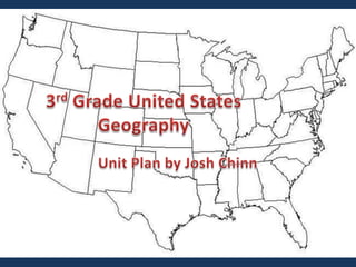
- 1. 3rd Grade United States Geography Unit Plan by Josh Chinn
- 2. Objectives of Course Allow students to learn and adapt basic skills for reading maps. To help the student learn more about different states and their capitals. The student will have a better understanding for different tools of technology. The student will be able to learn and have fun through activities and projects the student will complete.
- 3. Course Activities Worksheets (Lines & Longitude, US Regions, US States & Capitals, etc.) State Capital Game using Keypad device. Students will go through Second Life to visit their state selected for the final project. We will use Google Earth to let students get a 3-D picture of places in their state and around the country.
- 4. Final Presentation Each student will select a state of their choice and will make a presentation board with information about the selected state on the board. The boards of the students will be displayed on “State Day.” The students will be able to show their knowledge on their state with a short 2-3 minute overview of the content of their board