Hawaii Pacific GIS Conference 2012: Forestry and Tree Mapping - The Oahu Urban Tree Canopy Assessment: Methods and Uses
•
1 recomendación•579 vistas


Recomendados
Recomendados
Más contenido relacionado
Más de Hawaii Geographic Information Coordinating Council
Más de Hawaii Geographic Information Coordinating Council (20)
Último
Último (20)
Hawaii Pacific GIS Conference 2012: Forestry and Tree Mapping - The Oahu Urban Tree Canopy Assessment: Methods and Uses
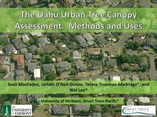
- 1. Sean MacFaden, Jarlath O’Neil-Dunne, Teresa Trueman-Madriaga*, and Wai Lee* University of Vermont, Smart Trees Pacific* Pictometry International Corp
- 7. How much tree canopy do we have? How much room is there to plant trees?
- 13. Courtesy of Dodson & Associates
- 15. X = 477589.675 Y = 786620.334 Z = 532 X = 47780.122 Y = 786621.913 Z = 384
- 28. Tree Canopy Grass/Shrub Bare Earth Water Buildings Roads Other Paved Surfac
- 42. Comparison to National Datasets Worldview-2 Satellite TC National Land Imagery Land Cover Cover Dataset 100% 0% TC Estimates 34% 24% Derived from 2010 imagery Derived from 2001 satellite (0.5m) and 2009 LiDAR imagery, 30m resolution
- 43. Grass/Shrub Tree Canopy Bare Soil Other Paved
- 44. • 149,268 acres of land (excludes water) • 56,218 acres of Existing UTC • 50,727 acres of Possible UTC that is grass/shrub • 20,890 acres of Possible UTC that is impervious (includes AG, Bare Soil) • 21,725 acres is not suitable for tree canopy (buildings, roads)
- 46. Tax Parcels
- 48. Zoning
- 49. Watersheds
- 50. Elevation Zones
- 51. Rainfall Zones
- 53. Funding Provided by USDA Forest Service University of Vermont, Smart Trees Pacific Pictometry International Corp
- 54. http://letters-sal.blogspot.com http://nrs.fed.us./urban/utc http://smarttreespacific.org Sean.MacFaden@uvm.edu Jarlath.Oneil-Dunne@uvm.edu ttm@hawaii.rr.com wlee@smarttreespacific.org University of Vermont, Smart Trees Pacific Pictometry International Corp