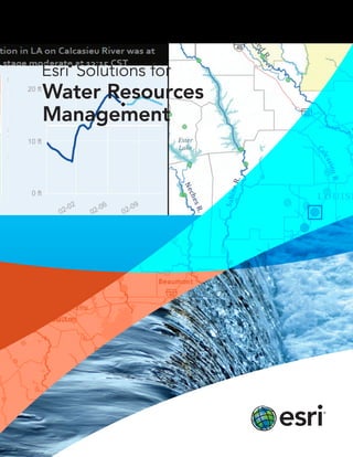
Esri Solutions for Water Resources Management
•
0 likes•366 views

Esri Solutions for Water Resources Management

Recommended
Recommended
More Related Content
What's hot
What's hot (16)
Similar to Esri Solutions for Water Resources Management
Similar to Esri Solutions for Water Resources Management (20)
More from Esri
More from Esri (20)
Recently uploaded
Recently uploaded (20)
Esri Solutions for Water Resources Management
- 2. 3 A Better Design for Water Resources Management Design water resources plans that will serve your community for years to come. From defining the problem to creating the solution, rely on Esri® to help you work through every phase of your planning process. Understanding the Problem Go deep into your data to understand the water resources system. Esri offers a framework for you to manage large complex datasets and visualize hydrologic information as tables, charts, and maps. Integrate historical, real-time, and projected information and rate the areas of greatest concern. Create maps to analyze what has happened and predict what could happen. Create a high-water report using a map or a graph. Considering Possibilities Through planning and analysis you can work toward meeting your sustainability goals. Use Esri® geospatial analysis and planning technologies to do these tasks: • Track contaminants and identify their types, locations, and sources • Visualize and study climate and weather • Create a 3D map of the watershed • Correlate society and watershed relationships • Compare scenarios using water system models • Determine Floodplains • Integrate engineering water models
- 3. 4 Designing a Plan Your job may be to create a plan for groundwater reclamation or flood prevention activities. Esri products allow you to use information from many sources to design an integrated water resources management (IWRM) solution. Our services and platforms create an environment for planners to design stormwater management low impact development (LID) plans. No matter what your needs may be, Esri can help. Getting Buy-in You need sign-off to implement your plan. Make your supporting information accessible to policy makers, resource managers, environmentalists, and other stakeholders. Rely on Esri web applications, online services, and database search tools to get your data, applications, and maps to the people who will authorize the plan. Empower your staff with the tools they need to work with local and state agencies, support researchers, equip policy makers, and inform the public. Use ArcGIS sm Online to build web mapping applications and publish your work for others to use. This map, which was published on ArcGIS Online, shows the average annual available water in South Asia. Implementing a Solution Built on industry standards, Esri technology works seamlessly with core business systems. This means your water resources staff can use geographic information tools to accomplish plan-related tasks such as managing regulatory compliance or issuing work orders. Esri provides a complete system that water resources staff and shareholders can continue to use everywhere, at any time, and on any device. Read case studies, explore options, and connect with experts at esri.com/waterresources.
- 4. Printed in USA Contact Esri 380 New York Street Redlands, California 92373-8100 usa 1 800 447 9778 t 909 793 2853 f 909 793 5953 info@esri.com esri.com Offices worldwide esri.com/locations Esri inspires and enables people to positively impact their future through a deeper, geographic understanding of the changing world around them. Governments, industry leaders, academics, and nongovernmental organizations trust us to connect them with the analytic knowledge they need to make the critical decisions that shape the planet. For more than 40 years, Esri has cultivated collaborative relationships with partners who share our commitment to solving earth’s most pressing challenges with geographic expertise and rational resolve. Today, we believe that geography is at the heart of a more resilient and sustainable future. Creating responsible products and solutions drives our passion for improving quality of life everywhere. Copyright © 2012 Esri. All rights reserved. Esri, the Esri globe logo, ArcGIS, @esri.com, and esri.com are trademarks, service marks, or registered marks of Esri in the United States, the European Community, or certain other jurisdictions. Other companies and products or services mentioned herein may be trademarks, service marks, or registered marks of their respective mark owners. 132058 XXXXXX9/12dg