Earth: representation. Basic vocabulary
•Download as PPT, PDF•
4 likes•1,095 views

This document discusses key terms used to represent the Earth, including telescope, artificial satellite, globe, map, map projections like Mercator and conic, scales for maps, and different types of maps such as topographic, physical, human, thematic on climate, population, and politics, and how to read maps using legends, scales, and symbols. It also mentions Spain's national topographic map and the MMRB.

Recommended
More Related Content
What's hot
What's hot (18)
Viewers also liked
Viewers also liked (11)
More from Mercedes Ruano
More from Mercedes Ruano (20)
Recently uploaded
Recently uploaded (20)
Earth: representation. Basic vocabulary
- 1. The Earth: representation Basic vocabulary
- 2. telescope
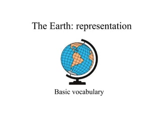
- 4. globe
- 5. map
- 11. scale
- 12. large scale small scale
- 13. topographic map
- 14. Physical map
- 15. Human map
- 16. Spain National topographic map
- 17. thematic maps
- 18. climate map
- 19. population map
- 20. political map
- 21. blank map
- 22. reading maps legend scalemap symbols
- 23. MMRB