
Recomendados
Recomendados
Más contenido relacionado
La actualidad más candente
La actualidad más candente (11)
Similar a GroundTruth Initiative presentation in Cairo, September 2012
Similar a GroundTruth Initiative presentation in Cairo, September 2012 (20)
Último
Último (20)
GroundTruth Initiative presentation in Cairo, September 2012
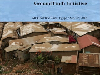
- 1. GroundTruth Initiative MEGAWRA: Cairo, Egypt / Sept.23, 2012
- 2. Kibera slum in Nairobi, Kenya… ~ 250,000 people, 2.5 km2
- 3. …was a blank spot on the map
- 4. This is all the media shows about Kibera…
- 5. The Mappers: 13 Kibera youth * The Mappers
- 7. What did they collect? • water points • public latrines • medical clinics • informal schools • churches/mosques • video shops • salons • community organizations and much more!
- 9. The Densest Map Ever?
- 10. What is Community Mapping? 1) Community decides what to map, then creates/gathers the map data. That is, geographical coordinates alongside any other information. 2) Community also edits the map data themselves, and comes to agreement on the final product. 3) Mapped information is generally shared openly, online, contributing to commons. Community decides what to share or not share. 4) Community uses the information afterwards, themselves
- 11. Data + Storytelling Voice of Kibera www.voiceofkibera.org
- 12. Software • OpenStreetMap/ JOSM For creating Base Map: geographical features that don’t change too frequently, are public. •Ushahidi Using the map from OpenStreetMap, you can plot points and share text, images and video.
- 13. Voice of Kibera
- 14. Reports
- 15. Reports
- 17. Need photo here of the guys out on a shoot…
- 19. Selection of Video Topics
- 20. Thematic Mapping: Health Education Water/Sanitation Safety
- 21. 2322759509
- 25. Outcomes and Uses of media and maps 1) Local neighborhood planning process 2) Advocacy, lobbying, demand for rights 3) Shifting community image: gaining legitimacy and demonstrating resources 4) Community news source 5) Open data resource for local organizations and initiatives 6) Basis for local discussions around themes raised 7) Linking with broader technical and online communities
- 26. East Jerusalem and near West Bank Grassroots Al-Quds Politically active, relatively high income, already using video and media to document conflict.
- 30. Dar es Salaam, Tandale community, Tanzania
- 31. Dar es Salaam, Tandale community, Tanzania
- 32. Dar es Salaam - Tandale
- 33. Dar es Salaam, Tandale community, Tanzania
- 34. Kerala, India: The Blue Yonder tour company
- 35. Thanks! contact@groundtruth.in Groundtruth.in mapkibera.org kiberanewsnetwork.org voiceofkibera.org
Notas del editor
- Show video: riot in Kibera
- Show video: riot in Kibera
- Show video: riot in Kibera