Continental Mapping Geospatial Capabilities
•
0 recomendaciones•19,997 vistas

This is a broad overview of the solutions provided by Continental Mapping. Since 1999, Continental Mapping has been providing full service mapping solutions to clients in many industries.
Recomendados

Recomendados
Más contenido relacionado
Más de Continental Mapping Consultants
Más de Continental Mapping Consultants (18)
Último
Último (20)
Continental Mapping Geospatial Capabilities
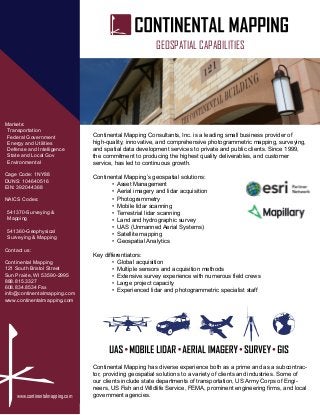
- 1. www.continentalmapping.com Markets: Transportation Federal Government Energy and Utilities Defense and Intelligence State and Local Gov Environmental Cage Code: 1NY88 DUNS: 104640516 EIN: 392044368 NAICS Codes: 541370-Surveying & Mapping 541360-Geophysical Surveying & Mapping Contact us: Continental Mapping 121 South Bristol Street Sun Prairie, WI 53590-2995 888.815.3327 608.834.8534 Fax info@continentalmapping.com www.continentalmapping.com Continental Mapping Consultants, Inc. is a leading small business provider of high-quality, innovative, and comprehensive photogrammetric mapping, surveying, and spatial data development services to private and public clients. Since 1999, the commitment to producing the highest quality deliverables, and customer service, has led to continuous growth. Continental Mapping’s geospatial solutions: • Asset Management • Aerial imagery and lidar acquisition • Photogrammetry • Mobile lidar scanning • Terrestrial lidar scanning • Land and hydrographic survey • UAS (Unmanned Aerial Systems) • Satellite mapping • Geospatial Analytics Key differentiators: • Global acquisition • Multiple sensors and acquisition methods • Extensive survey experience with numerous field crews • Large project capacity • Experienced lidar and photogrammetric specialist staff Continental Mapping has diverse experience both as a prime and as a subcontrac- tor, providing geospatial solutions to a variety of clients and industries. Some of our clients include state departments of transportation, US Army Corps of Engi- neers, US Fish and Wildlife Service, FEMA, prominent engineering firms, and local government agencies. GEOSPATIAL CAPABILITIES