1. Portal for ArcGIS
Enabling Web GIS in Your Infrastructure
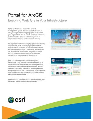
Portal for ArcGIS is a mapcentric content
management system that provides a framework to
easily manage and secure geographic assets within
your organization. It is an ArcGIS for Server extension
that extends the reach of GIS to everyone in an
organization, enabling better decision making.
For organizations that have highly specialized security
requirements, such as satisfying regulations that
require data to be stored on servers within national
boundaries or working in a completely disconnected
(i.e., no Internet) environment, they can use Portal
for ArcGIS®
to implement web GIS in their own
infrastructure (on-premises or in the cloud).
Web GIS is a new pattern for delivering GIS
capabilities: a key concept is that all members of an
organization can easily access and leverage spatial
information in a collaborative environment. ArcGIS
SM
Online is Esri’s cloud solution for enabling web GIS.
Many organizations use a combination of on-premises
(Portal for ArcGIS) and cloud (ArcGIS Online) for their
web GIS implementations.
At ArcGIS 10.3, Portal for ArcGIS will be included with
ArcGIS for Server Standard and Advanced.