
Recomendados
Recomendados
Más contenido relacionado
Más de Michael Reles
Más de Michael Reles (11)
Último
Último (20)
2015 november board gauge presentation
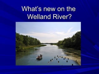
- 1. What’s new on theWhat’s new on the Welland River?Welland River?
- 5. Gauge station data used in 2010 studyGauge station data used in 2010 study
- 6. Gauge stations added since 2010 studyGauge stations added since 2010 study
- 7. Big Forks CreekBig Forks Creek This station was installed inThis station was installed in 2012 and records:2012 and records: Water LevelWater Level PrecipitationPrecipitation
- 8. E.C. Brown GaugeE.C. Brown Gauge This station became fully operationalThis station became fully operational in spring 2013 and records:in spring 2013 and records: Water LevelWater Level Water FlowWater Flow Water Flow DirectionWater Flow Direction PrecipitationPrecipitation
- 9. E.C. Brown GaugeE.C. Brown Gauge
- 10. E.C. Brown GaugeE.C. Brown Gauge
- 11. Ex. ‘Old Siphon’ Gauge – West SideEx. ‘Old Siphon’ Gauge – West Side This station was installed in 1986This station was installed in 1986 and records:and records: Water LevelWater Level
- 12. New ‘Old Siphon’ Gauge – East SideNew ‘Old Siphon’ Gauge – East Side This station was installed in October 2014This station was installed in October 2014 and records:and records: Water LevelWater Level
- 14. The data from these new stations will help us:The data from these new stations will help us: Improve NPCA flood forecasting and warning capabilities.Improve NPCA flood forecasting and warning capabilities. Better understand the impacts to flow on the river.Better understand the impacts to flow on the river. Improve the accuracy of any Welland River study, report, or model.Improve the accuracy of any Welland River study, report, or model.
- 15. Thanks for listening!Thanks for listening! Any questions?Any questions?