Emergent Methods: Multi-lingual narrative tracking in the news - real-time ex...
Corridor concept for tod workshop herman
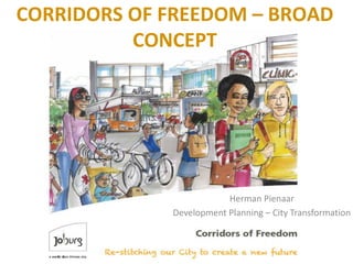
1. CORRIDORS OF FREEDOM – BROAD
CONCEPT
Herman Pienaar
Development Planning – City Transformation
2. CONTENT
• Background and overview of city development
strategy
• Corridors of Freedom concept and approach
• Corridor focus areas
3. JOHANNESBURG
DEMOGRAPHICS
• Total Population – 4.4
million
• 36% of Gauteng population
• 8% of national population
• Johanesburg is growing
faster than the Gauteng
Region
• COJ population increase by
38% between 2001 and
2011.
5. Based on 5 indicators:
•Income
•Employment
•Health
•Education
•Living Environment
6. THE CONCEPT – CORRIDORS
OF FREEDOM
• The City of Johannesburg is embarking on a new spatial
vision for the city in line with the Growth and Development
Strategy 2040, based on corridor Transit-oriented
Development (TOD).
• The shape of the future city will consist of well-planned
transport arterials – the “Corridors of Freedom” – linked to
interchanges where the focus will be on mixed-use
development – high-density accommodation, supported by
office buildings, retail development and opportunities for
leisure and recreation.
9. SUSTAINABLE HUMAN SETTLEMENTS
URBANISATION PLAN (SHSUP)
STRATEGIC DEVELOPMENT
AREA
MODEL-
LED
YIELD
1In-situ Upgrading 26,500
2Nodes Within PPTN 75,500
3Nodes Outside PPTN 30,585
4TOD 74,117
5BRT 84,482
6Short-Term North 56,929
7Short-Term South 91,497
8Consolidation &Infill (North) 157,539
9Consolidation &Infill (Mining Belt) 70,461
10Redevelopment South Suburbs 23,775
Sub-Total 691,385
11Expansion North 78,662
12Expansion South 72,138
Sub-Total 150,800
13Rest of the City 293,970
Sub-Total 293,970
Total 1,136,155
13. Study Outline
• Strategic analysis
• Strategic Area Framework
– Desired built form and spatial vision
• Interventions for increased accessibility
– Quantified development potential
• Interventions to achieve density within a TOD/SHS
framework
• Cost benefit
– Modelling current and future scenarios
• Corridor Development Programme
– Quantified interventions
– Spatially defined with time and sequential events
30. Proposed transit system
Several of the streets in Turffontein used to be tramway reserves and
consequently De Villiers-, Turf- and Turffontein Road have road reserve widths
of more than 18m. These road reserve widths are suitable to accommodate a
Bus Rapid Transit System.
31. Delineation of areas of densification
areas
Densification areas
Backbone for densification
policies, land use zoning and
development controls.
33. • How can we transform cities to be sustainable, efficient,
beautiful, and invigorating to the human sole?
• How can we bring together residents of diverse
backgrounds, and empower and uplift the disenfranchised?
• How can urban environments propel us to realise our
healthiest bodies, strongest communities, and most
creative minds?
• And practically speaking, how do we get from here to
there?
CONCLUDING REMARKS