Create Your KML File by KML Editor
•Descargar como PPT, PDF•
5 recomendaciones•5,902 vistas

This slide is contributed by Wang Yaohui for Linkou Senior High school (LKSH) students. Every teacher is welcome to use it if they want their students to create their KML project. Please email me if you need the PPT file. Then I can send it to you. Wang yaohui Taipei 10 April 2007

Recomendados
Más contenido relacionado
Destacado
Destacado (20)
Similar a Create Your KML File by KML Editor
Más de wang yaohui
Más de wang yaohui (13)
Create Your KML File by KML Editor
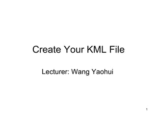
- 1. Create Your KML File Lecturer: Wang Yaohui
- 2. Still Struggling with Your Homework?
- 3. Today you may solve your problems!!
- 9. You may not need to do the coding, but need to know it! Even you have no idea about what am I talking……You still can achieve your project!
- 14. After installing, you will see this logo!
- 18. Click it!!
- 19. You can see the latitude and longitude changing!!
- 20. 1 2
- 22. 2.Type your KML file name and add your placemarks(if you want to add more than 1 placemark, click the right button of your mouse and add it as above figure)
- 23. 3.I do believe you know how to use MS Word!! 3 4 4.And also MSN!!
- 24. Click it!! And past the embed codes here!!
- 25. What is embed codes?
- 26. Also
- 27. Then you can get it like this!
- 28. Choose the style as you may like!
- 29. And your prefer altitude!
- 31. Switch your Google Earth window to here!!!
- 32. OH….My God!!! I loose my Google ‘’Earth’’!!!
- 33. Don’t panic! You can ‘’Undock’’ it from KML Editor.
- 34. Congratulation! You save the Earth!!......XD
- 35. Use the Crosshair to navigate your geotag target!
- 36. You can decide whether preview it or not on Google Earth. But….please do remember SAVE it!
- 38. Also you can try to check it on Google Map
- 39. And use Google My map to add more features on it!
- 40. Now…………………………… It’s Your Show Time!