
Recomendados
Recomendados
Más contenido relacionado
Destacado
Destacado (20)
Más de Tom Gardner
Último
Último (20)
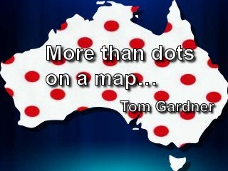
GeoRabble Presentation - More than Dots on a Map - 2013 03 14
- 4. Yes that is me =>
- 7. Hale School – Yr 9
Notas del editor
- How many times have you been to the proverbial BBQ and someone has asked you what you do? And instead of explaining vectors and rasters and spheroids you boil it down to something like this…
- (that is not true though is it?)
- 20 years ago I was doing more than making maps..
- We were Solving Problems…
- Some of you would be aware of the Spatial Technology in Schools competition – I have been a strong supporter of this for the past 8 or so years…
- My team last year won (YAY) and they were only year 9 students – did they make maps? No
- The worked out potential sites to locate a new sustainable city in Western Australia… they solved a problem…
- But somehow I had this feeling that the layers that they had used to solver the problem was not complete… I had Forgotten Something…
- And I was reminded tonight with the weather that we had – did anyone get wet?
- Now lets think of weather that is synonymous with the north-west – and I was reminded of this one cyclone - Rusty
- BOM Cyclone Database
- Image – but no help
- CSV – Lets use that
- Spaghetti
- Here it is compared to our initial potential sites…
- Now lets look at 100 years of cyclone density
- Where there is weather there is Thunder
- ..and Lightning – veryvery frightening!
- Fire Frequency Data (thanks to Landgate)
- Earthquake Hazard Map
- So now we have a better picture of the problem. Was the first result right?
- So what I would like you all to understand that we are not making maps with what we are doing – we are Problem Solving
- So at the next BBQ when asked what you do you say…