Beyond fire and ice: Mapping Iceland in the 21st Century

Talk by Benjamin Hennig held at the 30th Anniversary Symposium of the Association of Icelandic Geographers (Félags landfræðinga), Reykjavík, 30th September 2016. Abstract: The role of GIS and cartography in a country like Iceland seems obvious. With geology and the environment defining so much about Icelands geography, modern mapping methods provide the necessary tools to analyse and understand the manifold data that is collected in the field, and to support a wide range of applications in environmental sciences. But maps have so much more to offer and can tell very different stories not only about the physical environments we are living in, but also provide opportunities to take another look at the social environment that seems equally unique from an outsider’s perspective. Implications of globalisation have had a huge impact in Icelandic society, so that understanding the social transformations is one of the fields that should be on the agenda for mapping this island in our age. While it sounds an easy task, the challenges that are related to it are huge. This talk discusses some ideas of how the age-old tradition of map making could – or should – be advanced to see that country we are living in in a new light.

Recomendados
Más contenido relacionado
Más de Benjamin Hennig
Más de Benjamin Hennig (20)
Último
Último (20)
Beyond fire and ice: Mapping Iceland in the 21st Century
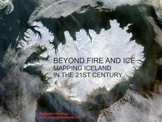
- 1. BEYOND FIRE AND ICE MAPPING ICELAND IN THE 21ST CENTURY Benjamin Hennig www.viewsoftheworld.net
- 2. BEYOND FIRE AND ICE MAPPING ICELAND IN THE 21ST CENTURY Past Present Future
- 3. PAST Beyond fire and ice Mapping Iceland in the 21st Century
- 7. PRESENT Beyond fire and ice Mapping Iceland in the 21st Century
- 14. FUTURE Beyond fire and ice Mapping Iceland in the 21st Century
- 18. Aitor García Rey, http://iceland.cartodb.com/
- 24. Here be dragons, again! Takk fyrir