Descargar como PDF, PPTX

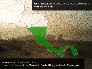
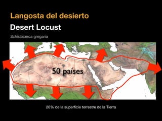
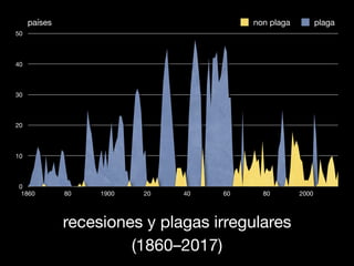
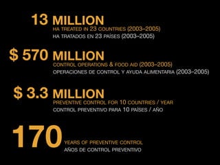
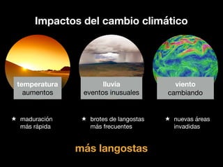
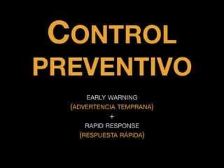
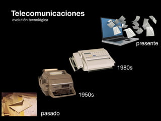
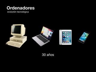
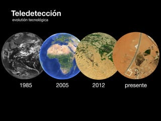
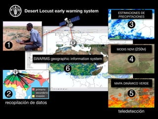
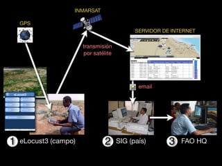
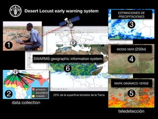
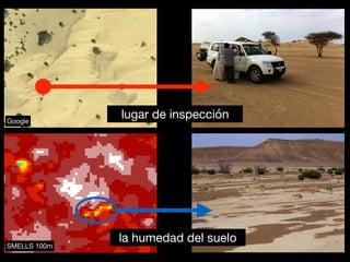
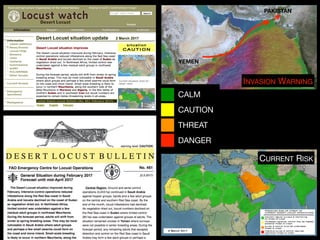
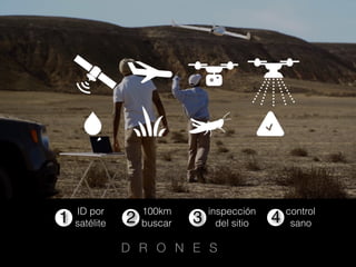
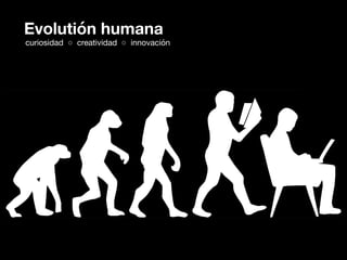
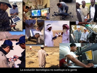
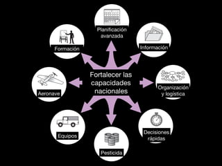
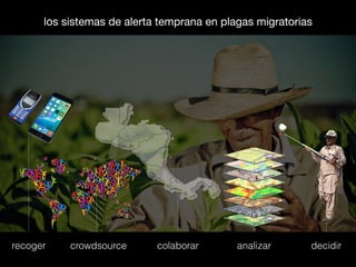


El documento se centra en el uso de la teledetección y métodos de recopilación de datos para mejorar los sistemas de alerta temprana en la gestión de plagas migratorias, específicamente la langosta del desierto. Se discute la evolución tecnológica desde los años 50 hasta la actualidad y la importancia de la respuesta rápida y el control preventivo para mitigar el impacto de estas plagas en la agricultura. Además, se mencionan operaciones de control y ayuda alimentaria que se han llevado a cabo en varios países entre 2003 y 2005.


